
Rhine bank circular route Hochrhein.
In the course of the International Building Exhibition IBA Basel 2020, the popular hiking trail along the banks of the Rhine was extended to numerous communities and upgraded with new projects. Discover the banks of the High Rhine on this versatile tour.
Rhine Bank Circular Trail Hochrhein.
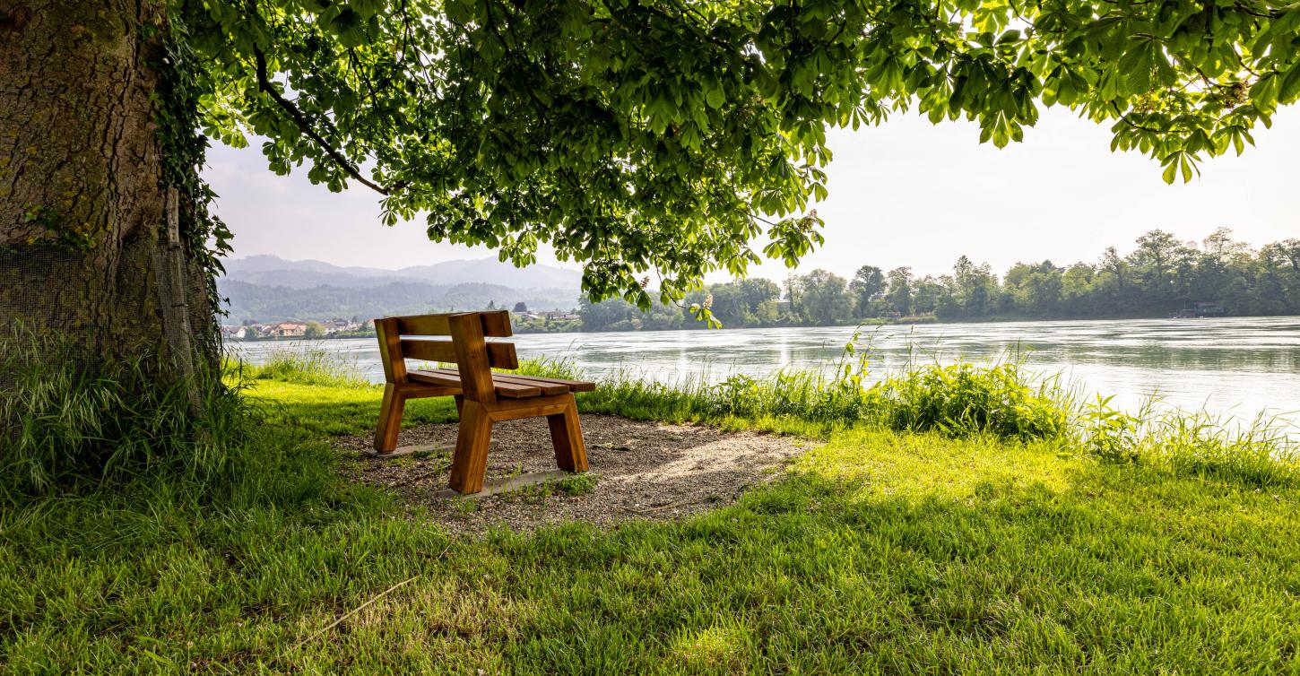
The Rhine River Circular Trail Hochrhein from Grenzach-Wyhlen and Kaiseraugst to Bad Säckingen and Stein is part of the Rhine Love Trail. The trail leads through idyllic landscapes, past historical sights and offers beautiful views of the river and cozy places to stop for refreshments. The route can be shortened or extended individually.

Individual hiking route.
Put together your individual hiking route on the banks of the Rhine. You can find the overall route as well as all 4 stages on Outdooractive. By the way, you will also find additional hiking routes in the communities along the High Rhine.
Digital audio guide.
Let the digital audio guide from SmartGuide accompany you on the route. This provides you with exciting information about various sights, newly created highlights on the banks of the Rhine and historical events. Activate the notifications on the app and you will receive a hint as soon as you are near a place of interest. The app is available in English, French and German and is available for Android and iOS.
Map & Elevation Profile
Navigate the map and zoom in/out to see more route details.
More information about the Rhine River Circular Trail Hochrhein
Good to know
- Total distance: 72.7 km
- 4 stages
- Start/finish: any place on the route
- Hiking trail in 2 countries - take your identity card with you
- Digital audio guide in English, French and German
Highlights on the route
- Longest covered wooden bridge in Europe
- Oldest Zähringer town in Switzerland
- Southernmost point of Baden-Württemberg
- Roman city of August Raurica
- and much more
Contact
Tourism Rheinfelden
City office, Marktgasse 16
4310 Rheinfelden
+41 61 835 52 00
tourismus@rheinfelden.ch

Rhine love.
The Rhine love extends beyond the High Rhine to Bad Bellingen and Kembs. Get to know the Rheinliebe landscape!
#RhineLove.
The Rhine Love Trail of the IBA Basel leads from Bad Bellingen in Germany and Kembs in France via both Rheinfelden to Bad Säckingen on the German side and Stein in the canton of Aargau. The Rhine Love Heart accompanies you to discover the Rhine landscape and its treasures.
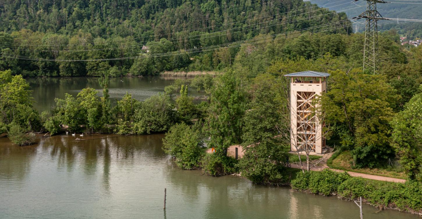
Numerous upgrading measures could be realized. For example, an observation platform at the site of the old iron bridge with information about the old power station, the emergence of the European power grid and the two electricity pioneers Agostino Nizzola and Charles E.L. Brown in Rheinfelden.


Support program of Interreg.
Interreg is a regional program of the European Union for the promotion of cross-border cooperation. Within this framework, cross-border projects (economy, tourism, research, spatial development, culture, etc.) can be funded.


